🎯 Precision
Centimeter‑level accuracy
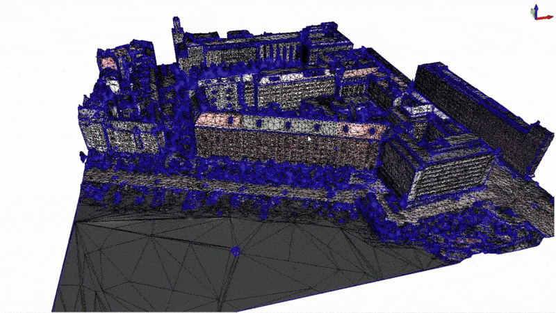
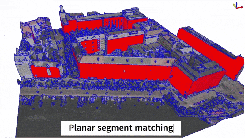
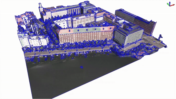
Robust geo‑registration and QA pipelines minimize drift and noise.
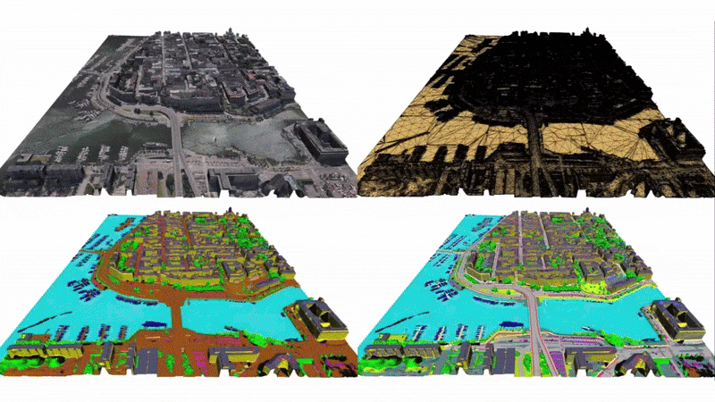
We build the world's first centimeter‑level, semantically rich 3D maps to power spatial intelligence, from drone logistics to city-scale digital twins.
Engineered for precision, scale, and real‑world deployment.
Robust geo‑registration and QA pipelines minimize drift and noise.
Roads, facades, trees, powerlines, curb ramps — all vectorized.
Spatial indices and streamable tiles cut latency for path planning.
ROS2, WebGL, Cesium, Unreal, and common GIS formats.
SLAs, versioned updates, signed tiles, and audit trails.
REST/GraphQL tile APIs and client SDKs for web, mobile, and C++.
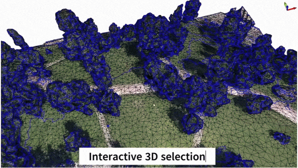
We provide annotation services for mesh semantic segmentation.
Simple, transparent plans.
For open source projects.
For startups and small teams.
For large companies.
CEO & Co-Founder.
Postdoc and PhD from TU Delft, specializing in computer vision and 3D geoinformation.
CTO & Co-Founder.
Postdoc at Stanford and PhD from UNC Chapel Hill, specializing in computer vision and interactive AI.
Founding Member.
Management graduate from Wageningen University, specializing in financial strategy, HR operations, and fundraising.
Founding Member.
LL.M. graduate from Fudan University, specializing in capital markets, private equity, and post-investment legal advisory.
Tell us how we can support you at contact@atlas3d.ai.