LogoAtlas Spatial Intelligence

High-precision 3D maps for spatial intelligence

We build the world's first centimeter-level, semantically rich 3D maps to power spatial intelligence, from drone logistics to city-scale digital twins.

3D mapping visualization

Why choose our maps

Engineered for precision, scale, and real-world deployment.

🎯 Precision

Centimeter-level accuracy

Robust geo-registration and QA pipelines minimize drift and noise.

🧠 Semantics

Rich, layered semantics

Roads, facades, trees, powerlines, curb ramps — all vectorized.

⚡ Performance

10× faster queries

Spatial indices and streamable tiles cut latency for path planning.

🔌 Integrations

Works with your stack

ROS2, WebGL, Cesium, Unreal, and common GIS formats.

🛡️ Reliability

Enterprise-grade ops

SLAs, versioned updates, signed tiles, and audit trails.

🌐 Open

APIs & SDKs

REST/GraphQL tile APIs and client SDKs for web, mobile, and C++.

Annotation services

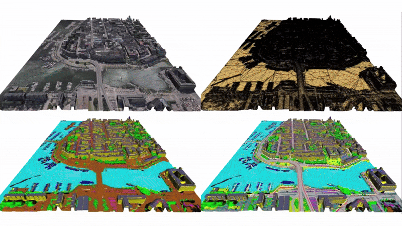
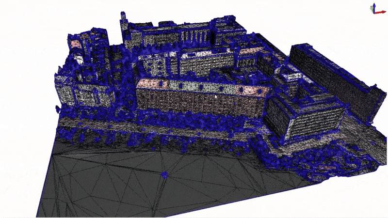
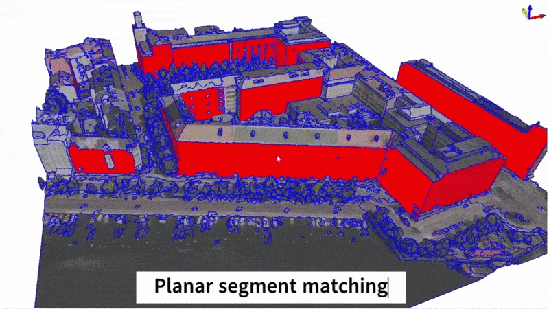
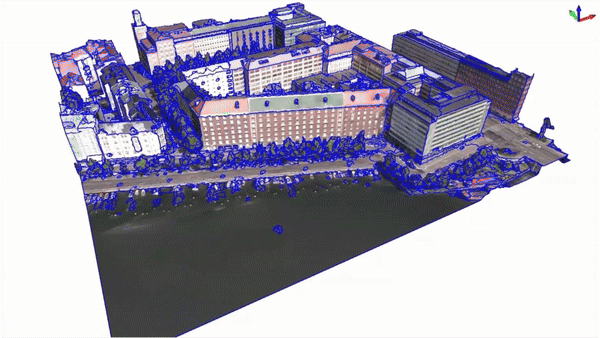
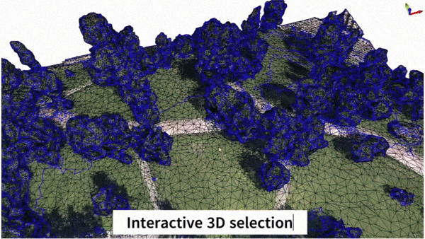
We provide annotation services for mesh semantic segmentation.

3D annotation case 1
3D annotation case 2
3D annotation case 3
3D annotation case 4

Human Data with Motion Tracking

High-quality human demonstration data to train and evaluate robotic systems.

Contact us

Tell us how we can support you at contact@atlas3d.ai.

Quick links